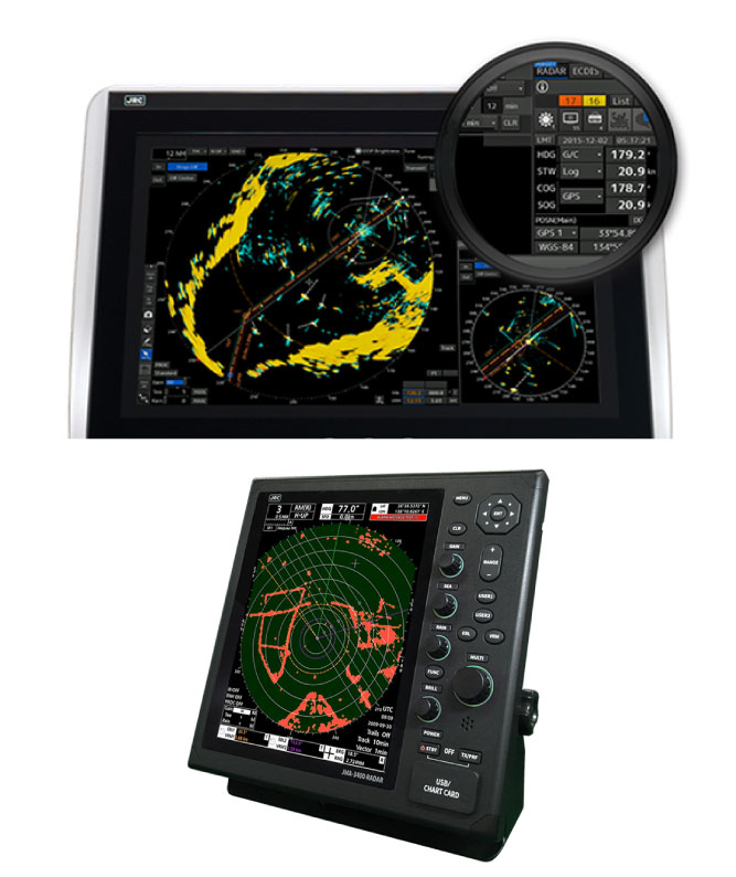
Modern radar equipment can often display much more information than only radar targets and so become a multifunctional navigational system, ARPA (Automatic Radar Plotting AID and AIS (Automatic Identification System) are most of the time a standard feature, while some options are additional like wave height sensing, chart overlay or even VHF radio integration.
Radar systems comes in many varieties like X-band / S-Band and solid-state antennas where antenna dimensions can vary from a 2 ft dome for smaller vessels to 12-ft S-band antenna for larger commercial vessels.
AMTS delivers different radar systems for any kind of vessel, contact us for more information.
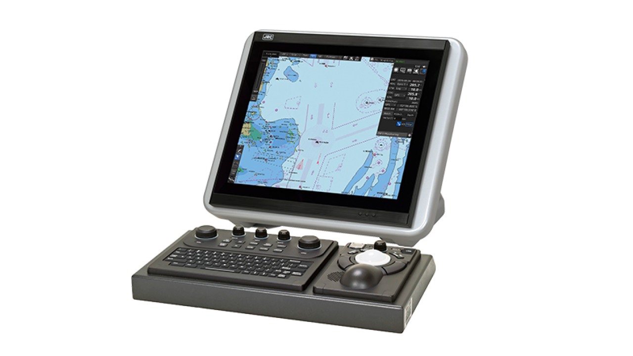
An Electronic Chart Display and Information System (ECDIS) is a computerized system used to display electronic charts which complies to International Maritime Organization (IMO) regulations acting as an alternative to traditional paper charts.
An ECDIS system displays the navigational data from onboard sensors on the electronic chart forming a central point of information, routes and waypoints can be eventually transferred to an onboard autopilot forming a full automatic Track Control System.
Depending on model other sensors like tender tracking, radio direction finder and Navtex can be integrated.
ECDIS works with electronic charts which are available in many formats depending of supplier, commonly used charts are S57 Ed 3.0 / S-63 / C-Map / Jepessen Primar and ARCS which can be offered via several services as Pay as You Sail (PAYS) / License by Route or standard subscription.
With brands as JRC, Transas, Simrad for commercial shipping and Nobeltec for pleasure boats and yachts we can offer multiple solutions.
Depending on your sailing area and needs AMTS can advise you the best solution.
Navtor is offering a complete solution for electronic charts, making life easier, safer and more efficient for navigators and operators.
Charts are easily available via downloads, while chart updates can be done in the form of:
Navsync: A ENC service giving access to latest versions of electronic charts, ordered via licensing.
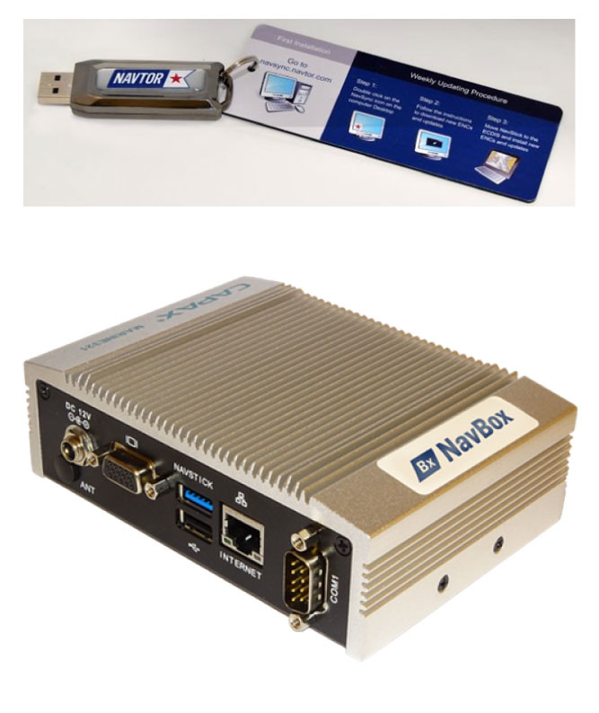
Navstick: A preloaded USB stick acting as a physical “bridge” between the ECDIS system and an internet enabled computer allowing instant download of charts and licenses on the USB stick, without the risk of transferring viruses or other malware which can affect operation of the ECDIS system.
Chart updates will be automatically announced via email so you´ll never miss any important update.
Navbox: A small computer with preloaded software connected to ships internet, taking all hassle out of chart updates. Whenever you are looking for a system which fully automatic download the latest chart updates and licenses, Navbox is your way to go.
In case you are looking for electronic charts of any specific area, contact AMTS for more information.